
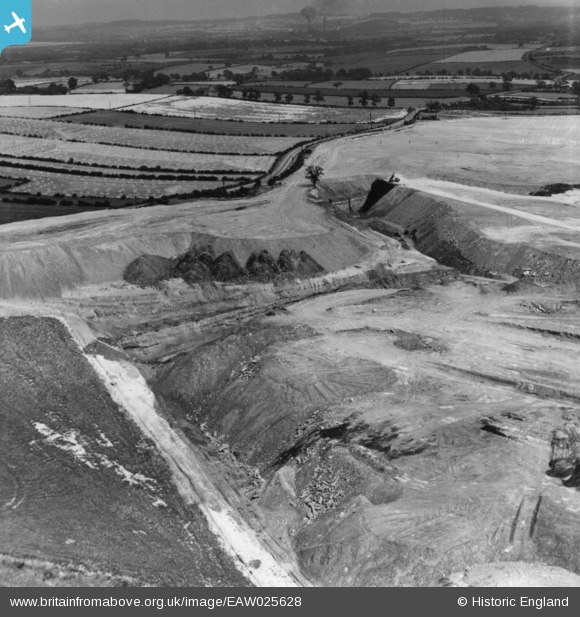
EAW025628 ENGLAND (1949). Billingley, Open Cast Coal Quarry south of the village, 1949. This image has been produced from a print.
© Copyright OpenStreetMap contributors and licensed by the OpenStreetMap Foundation. 2026. Cartography is licensed as CC BY-SA.
Nearby Images (21)
EAW025628

EAW025629

EAW025627

EAW025626

EAW025625

EAW025631

EAW025632

EAW025630

EAW025622

EAW025623

EAW025624

EAW015487

EAW015485

EAW025611

EAW025615

EAW015484

EAW015491

EAW015490

EAW015492

EAW015488

EAW015493

Details
| Title | [EAW025628] Billingley, Open Cast Coal Quarry south of the village, 1949. This image has been produced from a print. |
| Reference | EAW025628 |
| Date | 4-August-1949 |
| Link | |
| Place name | BILLINGLEY |
| Parish | BILLINGLEY |
| District | |
| Country | ENGLAND |
| Easting / Northing | 443320, 404022 |
| Longitude / Latitude | -1.3463853344843, 53.530821224287 |
| National Grid Reference | SE433040 |
