
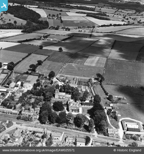
EAW025571 ENGLAND (1949). Terrington Hall alongside All Saints' Church and the surrounding countryside, Terrington, from the south, 1949. This image has been produced from a print.
© Copyright OpenStreetMap contributors and licensed by the OpenStreetMap Foundation. 2026. Cartography is licensed as CC BY-SA.
Nearby Images (4)
EAW025571

EAW025569

EAW025568

EAW025570

Details
| Title | [EAW025571] Terrington Hall alongside All Saints' Church and the surrounding countryside, Terrington, from the south, 1949. This image has been produced from a print. |
| Reference | EAW025571 |
| Date | 1-August-1949 |
| Link | |
| Place name | TERRINGTON |
| Parish | TERRINGTON |
| District | |
| Country | ENGLAND |
| Easting / Northing | 467219, 470723 |
| Longitude / Latitude | -0.97126200852364, 54.12778469437 |
| National Grid Reference | SE672707 |
Pins
Be the first to add a comment to this image!