
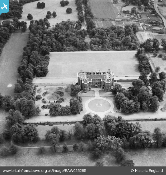
EAW025285 ENGLAND (1949). Ham House, Ham, 1949
© Copyright OpenStreetMap contributors and licensed by the OpenStreetMap Foundation. 2026. Cartography is licensed as CC BY-SA.
Nearby Images (6)
EAW025285

EAW025286

EAW025287

EAW025284

EAW025283

EPW018506

Details
| Title | [EAW025285] Ham House, Ham, 1949 |
| Reference | EAW025285 |
| Date | 22-July-1949 |
| Link | |
| Place name | HAM |
| Parish | |
| District | |
| Country | ENGLAND |
| Easting / Northing | 517275, 173062 |
| Longitude / Latitude | -0.31232334730902, 51.443901301524 |
| National Grid Reference | TQ173731 |
Pins
Be the first to add a comment to this image!