
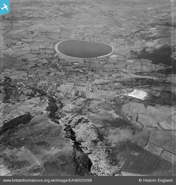
EAW025098 ENGLAND (1949). Cheddar Reservoir and Gorge, Cheddar, from the east, 1949
© Copyright OpenStreetMap contributors and licensed by the OpenStreetMap Foundation. 2026. Cartography is licensed as CC BY-SA.
Nearby Images (8)
EAW025098

EPW033372

EPW048432

EPW011749

EAW025159

EAW004865

EPW048433

EAW004866

Details
| Title | [EAW025098] Cheddar Reservoir and Gorge, Cheddar, from the east, 1949 |
| Reference | EAW025098 |
| Date | 25-July-1949 |
| Link | |
| Place name | CHEDDAR |
| Parish | CHEDDAR |
| District | |
| Country | ENGLAND |
| Easting / Northing | 347086, 154346 |
| Longitude / Latitude | -2.7588272500709, 51.285282648377 |
| National Grid Reference | ST471543 |
Pins

Isleworth1961 |
Tuesday 11th of February 2014 03:08:23 PM | |
|
MB |
Saturday 21st of December 2013 10:48:15 PM |
User Comment Contributions
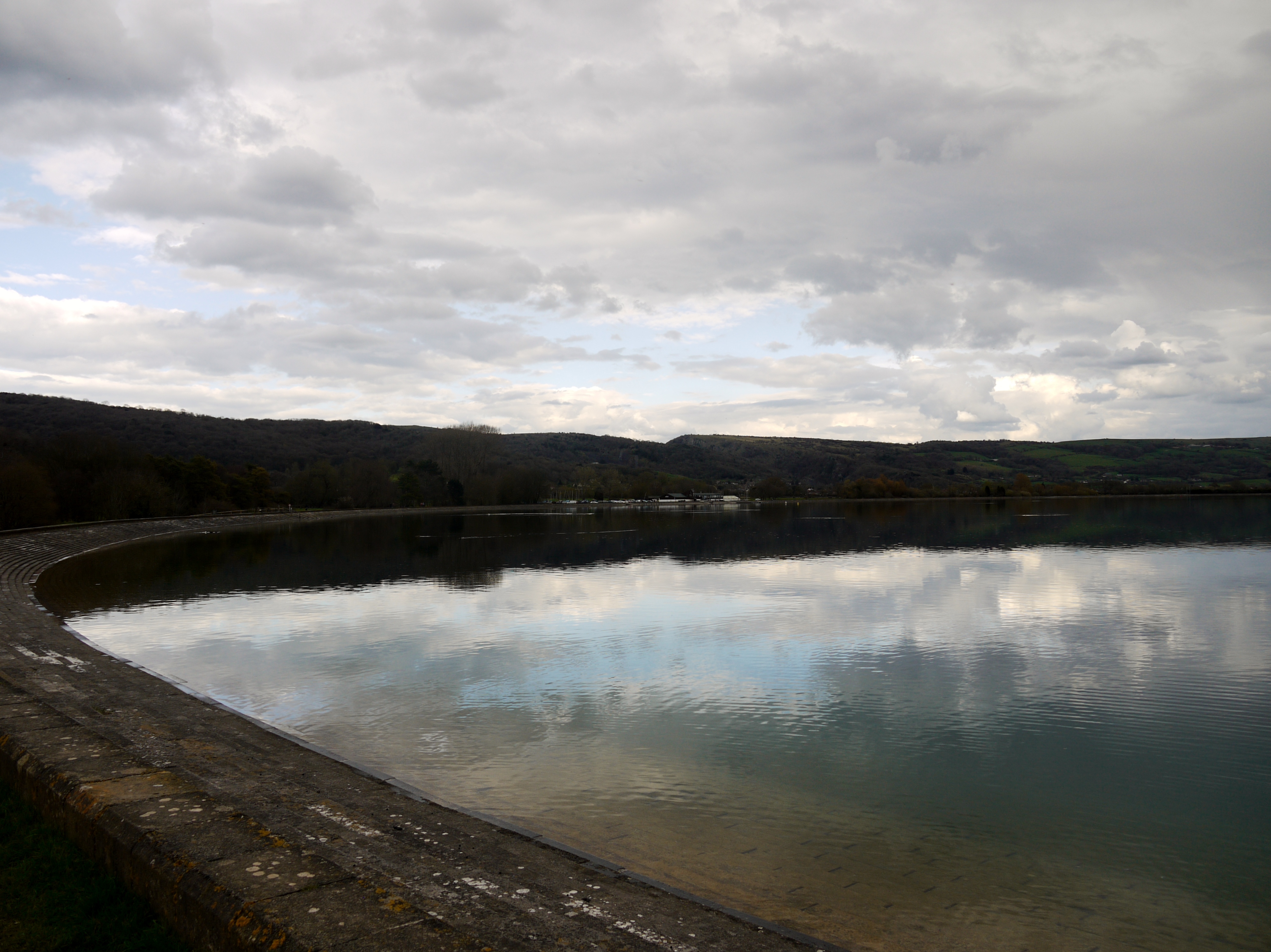
Cheddar Reservoir, 13/04/2016 |

Class31 |
Friday 15th of April 2016 04:50:30 PM |