
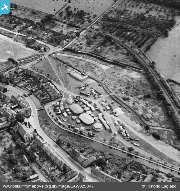
EAW025047 ENGLAND (1949). A fairground between Moor Road and the River Chess at Waterside, Chesham, 1949
© Copyright OpenStreetMap contributors and licensed by the OpenStreetMap Foundation. 2026. Cartography is licensed as CC BY-SA.
Nearby Images (3)
EAW025047

EPW056451

EAW025046

Details
| Title | [EAW025047] A fairground between Moor Road and the River Chess at Waterside, Chesham, 1949 |
| Reference | EAW025047 |
| Date | 22-July-1949 |
| Link | |
| Place name | CHESHAM |
| Parish | CHESHAM |
| District | |
| Country | ENGLAND |
| Easting / Northing | 496348, 200772 |
| Longitude / Latitude | -0.60577235642623, 51.696954927775 |
| National Grid Reference | SP963008 |
Pins

John Wass |
Wednesday 13th of May 2015 08:57:36 PM |