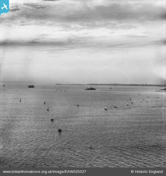
EAW025027 ENGLAND (1949). Boats in the Solent, Southsea, from the east, 1949. This image has been produced from a print.
    © Copyright OpenStreetMap contributors and licensed by the OpenStreetMap Foundation. 2025. Cartography is licensed as CC BY-SA.
  
Details
| Title | [EAW025027] Boats in the Solent, Southsea, from the east, 1949. This image has been produced from a print. | 
| Reference | EAW025027 | 
| Date | 23-July-1949 | 
| Link | |
| Place name | SOUTHSEA | 
| Parish | SOUTHSEA | 
| District | |
| Country | ENGLAND | 
| Easting / Northing | 464925, 97388 | 
| Longitude / Latitude | -1.0791533978626, 50.771870184745 | 
| National Grid Reference | SZ649974 | 
 
             
  ![[EAW025027] Boats in the Solent, Southsea, from the east, 1949. This image has been produced from a print.](http://britainfromabove.org.uk/sites/all/libraries/aerofilms-images/public/100x100/EAW/025/EAW025027.jpg) 
  
                                          ![[EAW025024] A paddle steamer on the Solent off South Parade Pier, Southsea, from the south, 1949. This image was marked by Aerofilms Ltd for photo editing.](http://britainfromabove.org.uk/sites/all/libraries/aerofilms-images/public/100x100/EAW/025/EAW025024.jpg) 
 ![[EAW025023] The beach and town, Southsea, from the south-east, 1949](http://britainfromabove.org.uk/sites/all/libraries/aerofilms-images/public/100x100/EAW/025/EAW025023.jpg) 
  Fort Gilkicker.
 Fort Gilkicker.