
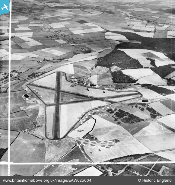
EAW025004 ENGLAND (1949). Tarrant Rushton Airfield, Tarrant Rushton, 1949. This image has been produced from a print marked by Aerofilms Ltd for photo editing.
© Copyright OpenStreetMap contributors and licensed by the OpenStreetMap Foundation. 2026. Cartography is licensed as CC BY-SA.
Nearby Images (7)
EAW025004

EAW025006

EAW025003

EAW021681

EAW021680

EAW021671

EAW021674

Details
| Title | [EAW025004] Tarrant Rushton Airfield, Tarrant Rushton, 1949. This image has been produced from a print marked by Aerofilms Ltd for photo editing. |
| Reference | EAW025004 |
| Date | 23-July-1949 |
| Link | |
| Place name | TARRANT RUSHTON |
| Parish | TARRANT RUSHTON |
| District | |
| Country | ENGLAND |
| Easting / Northing | 394951, 106043 |
| Longitude / Latitude | -2.0717352012984, 50.853322350165 |
| National Grid Reference | ST950060 |
Pins
Be the first to add a comment to this image!