
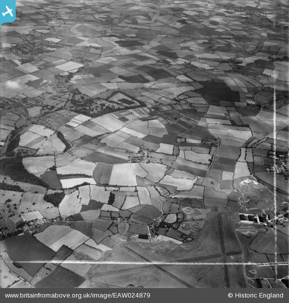
EAW024879 ENGLAND (1949). Tye Green, the Elsenham Hall Estate and surrounding countryside, Elsenham, from the south-west, 1949. This image was marked by Aerofilms Ltd for photo editing.
© Copyright OpenStreetMap contributors and licensed by the OpenStreetMap Foundation. 2026. Cartography is licensed as CC BY-SA.
Nearby Images (3)
EAW024879

EAW024878

EAW024880

Details
| Title | [EAW024879] Tye Green, the Elsenham Hall Estate and surrounding countryside, Elsenham, from the south-west, 1949. This image was marked by Aerofilms Ltd for photo editing. |
| Reference | EAW024879 |
| Date | 21-July-1949 |
| Link | |
| Place name | ELSENHAM |
| Parish | ELSENHAM |
| District | |
| Country | ENGLAND |
| Easting / Northing | 553854, 224030 |
| Longitude / Latitude | 0.23614726280567, 51.893117197038 |
| National Grid Reference | TL539240 |
Pins
Be the first to add a comment to this image!