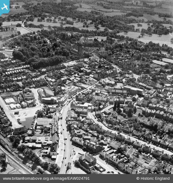
EAW024791 ENGLAND (1949). The town centre, East Grinstead, 1949
© Copyright OpenStreetMap contributors and licensed by the OpenStreetMap Foundation. 2026. Cartography is licensed as CC BY-SA.
Nearby Images (8)
EAW024791

EAW024786

EAW024789

EAW024790

EAW024787

EPW028559

EAW024788

EAW024792

Details
| Title | [EAW024791] The town centre, East Grinstead, 1949 |
| Reference | EAW024791 |
| Date | 12-July-1949 |
| Link | |
| Place name | EAST GRINSTEAD |
| Parish | EAST GRINSTEAD |
| District | |
| Country | ENGLAND |
| Easting / Northing | 539452, 138100 |
| Longitude / Latitude | -0.0070231116503247, 51.124658498674 |
| National Grid Reference | TQ395381 |
Pins

Class31 |
Tuesday 21st of June 2016 08:41:22 AM | |

David Posnett |
Tuesday 11th of February 2014 11:26:43 AM | |

Alan McFaden |
Friday 27th of December 2013 05:43:06 PM | |
|
Alan McFaden |
Friday 27th of December 2013 05:40:53 PM | |
|
Alan McFaden |
Friday 27th of December 2013 05:39:57 PM | |
|
Alan McFaden |
Friday 27th of December 2013 05:38:59 PM |