
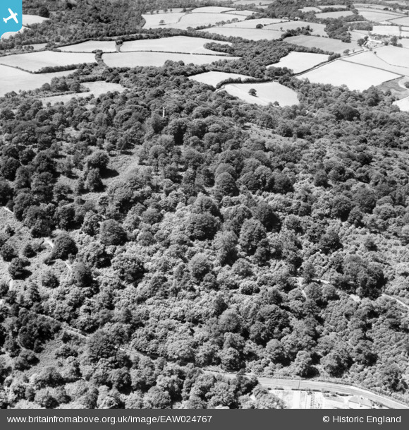
EAW024767 ENGLAND (1949). Saxonbury Tower, Saxonbury Hill, 1949
© Copyright OpenStreetMap contributors and licensed by the OpenStreetMap Foundation. 2025. Cartography is licensed as CC BY-SA.
Nearby Images (4)
EAW024767

EAW024764

EAW024765

EAW024766

Details
| Title | [EAW024767] Saxonbury Tower, Saxonbury Hill, 1949 |
| Reference | EAW024767 |
| Date | 12-July-1949 |
| Link | |
| Place name | SAXONBURY HILL |
| Parish | ROTHERFIELD |
| District | |
| Country | ENGLAND |
| Easting / Northing | 557833, 133132 |
| Longitude / Latitude | 0.25329131005099, 51.075245375872 |
| National Grid Reference | TQ578331 |
Pins
Be the first to add a comment to this image!