
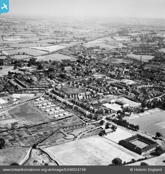
EAW024748 ENGLAND (1949). The town, Uttoxeter, from the north-west, 1949
© Copyright OpenStreetMap contributors and licensed by the OpenStreetMap Foundation. 2026. Cartography is licensed as CC BY-SA.
Nearby Images (11)
EAW024748

EAW010368

EAW010373

EAW010374

EAW010369

EAW010375

EAW010371

EAW010367

EAW010372

EAW010370

EAW010366

Details
| Title | [EAW024748] The town, Uttoxeter, from the north-west, 1949 |
| Reference | EAW024748 |
| Date | 11-July-1949 |
| Link | |
| Place name | UTTOXETER |
| Parish | UTTOXETER |
| District | |
| Country | ENGLAND |
| Easting / Northing | 408678, 333780 |
| Longitude / Latitude | -1.8709728807384, 52.901069622043 |
| National Grid Reference | SK087338 |
Pins

Jim |
Wednesday 12th of June 2024 09:41:20 AM | |
|
Jim |
Wednesday 12th of June 2024 09:39:23 AM | |
|
Jim |
Wednesday 12th of June 2024 09:36:29 AM | |
|
Richard |
Wednesday 30th of April 2014 07:28:16 AM | |
|
Richard |
Saturday 5th of April 2014 03:34:39 PM | |
|
Richard |
Saturday 5th of April 2014 03:28:42 PM | |
|
Richard |
Saturday 5th of April 2014 03:25:35 PM | |
|
lucky |
Wednesday 26th of February 2014 09:46:45 PM | |
|
lucky |
Wednesday 26th of February 2014 09:44:23 PM | |
|
lucky |
Wednesday 26th of February 2014 09:41:20 PM |