
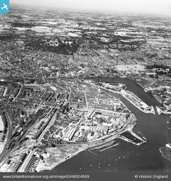
EAW024669 ENGLAND (1949). Stoke, Wet Dock and the town, Ipswich, from the south, 1949
© Copyright OpenStreetMap contributors and licensed by the OpenStreetMap Foundation. 2026. Cartography is licensed as CC BY-SA.
Nearby Images (24)
EAW024669

EAW025109

EAW025108

EAW024670

EAW025111

EAW026270

EAW025112

EAW026267

EAW026269

EPW041401

EAW026272

EAW026265

EAW025115

EAW025113

EAW025114

EPW024986

EPW001826

EAW025110

EAW026271

EAW026266

EAW026273

EPW024976

EPW032851

EAW026268

Details
| Title | [EAW024669] Stoke, Wet Dock and the town, Ipswich, from the south, 1949 |
| Reference | EAW024669 |
| Date | 11-July-1949 |
| Link | |
| Place name | IPSWICH |
| Parish | |
| District | |
| Country | ENGLAND |
| Easting / Northing | 616533, 243216 |
| Longitude / Latitude | 1.1579610328025, 52.044554009291 |
| National Grid Reference | TM165432 |
Pins
Be the first to add a comment to this image!