
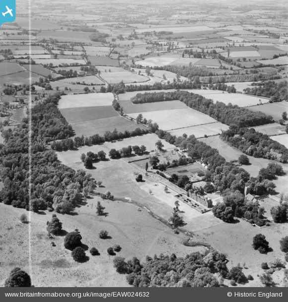
EAW024632 ENGLAND (1949). Brandeston Hall and surrounding countryside, Brandeston, 1949. This image was marked by Aerofilms Ltd for photo editing.
© Copyright OpenStreetMap contributors and licensed by the OpenStreetMap Foundation. 2026. Cartography is licensed as CC BY-SA.
Nearby Images (4)
EAW024632

EAW024631

EAW024628

EAW024627

Details
| Title | [EAW024632] Brandeston Hall and surrounding countryside, Brandeston, 1949. This image was marked by Aerofilms Ltd for photo editing. |
| Reference | EAW024632 |
| Date | 11-July-1949 |
| Link | |
| Place name | BRANDESTON |
| Parish | BRANDESTON |
| District | |
| Country | ENGLAND |
| Easting / Northing | 624506, 260218 |
| Longitude / Latitude | 1.2852525284615, 52.194006768921 |
| National Grid Reference | TM245602 |
Pins
Be the first to add a comment to this image!