
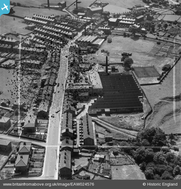
EAW024576 ENGLAND (1949). Croft Mills and environs, Cowling, 1949. This image has been produced from a damaged negative.
© Copyright OpenStreetMap contributors and licensed by the OpenStreetMap Foundation. 2026. Cartography is licensed as CC BY-SA.
Nearby Images (8)
EAW024576

EAW024583

EAW024579

EAW024580

EAW024577

EAW024578

EAW024582

EAW024581

Details
| Title | [EAW024576] Croft Mills and environs, Cowling, 1949. This image has been produced from a damaged negative. |
| Reference | EAW024576 |
| Date | 7-July-1949 |
| Link | |
| Place name | COWLING |
| Parish | COWLING |
| District | |
| Country | ENGLAND |
| Easting / Northing | 397492, 443359 |
| Longitude / Latitude | -2.0381608316586, 53.886207484251 |
| National Grid Reference | SD975434 |
Pins
Be the first to add a comment to this image!