
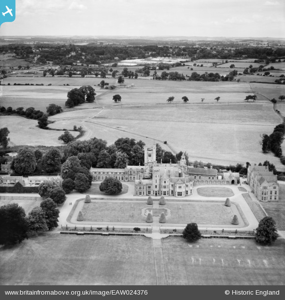
EAW024376 ENGLAND (1949). Canford School, Canford Magna, from the south-east, 1949
© Copyright OpenStreetMap contributors and licensed by the OpenStreetMap Foundation. 2026. Cartography is licensed as CC BY-SA.
Nearby Images (5)
EAW024376

EAW024378

EAW003649

EPW013626

EPW013622

Details
| Title | [EAW024376] Canford School, Canford Magna, from the south-east, 1949 |
| Reference | EAW024376 |
| Date | 6-July-1949 |
| Link | |
| Place name | MERLEY |
| Parish | |
| District | |
| Country | ENGLAND |
| Easting / Northing | 403369, 98853 |
| Longitude / Latitude | -1.9521999614813, 50.788670955986 |
| National Grid Reference | SZ034989 |
Pins
Be the first to add a comment to this image!