
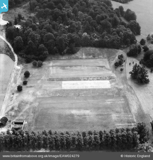
EAW024279 ENGLAND (1949). The grounds of Wycombe Abbey School, High Wycombe, 1949
© Copyright OpenStreetMap contributors and licensed by the OpenStreetMap Foundation. 2026. Cartography is licensed as CC BY-SA.
Nearby Images (9)
EAW024279

EPW038416

EAW024278

EPW038415

EPW017828

EPW034491

EPW034496

EPW034492

EPW017826

Details
| Title | [EAW024279] The grounds of Wycombe Abbey School, High Wycombe, 1949 |
| Reference | EAW024279 |
| Date | 29-July-1949 |
| Link | |
| Place name | HIGH WYCOMBE |
| Parish | |
| District | |
| Country | ENGLAND |
| Easting / Northing | 486702, 192420 |
| Longitude / Latitude | -0.74739143488915, 51.623442905127 |
| National Grid Reference | SU867924 |
Pins
Be the first to add a comment to this image!