
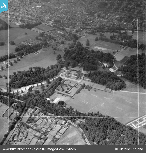
EAW024276 ENGLAND (1949). Daws Hill House and the grounds of Wycombe Abbey School, High Wycombe, 1949. This image was marked by Aerofilms Ltd for photo editing.
© Copyright OpenStreetMap contributors and licensed by the OpenStreetMap Foundation. 2025. Cartography is licensed as CC BY-SA.
Nearby Images (11)
EAW024276

EPW034493

EPW034497

EAW024277

EPW034494

EAW024275

EPW034488

EPW034487

EPW034490

EPW034489

EPW034495

Details
| Title | [EAW024276] Daws Hill House and the grounds of Wycombe Abbey School, High Wycombe, 1949. This image was marked by Aerofilms Ltd for photo editing. |
| Reference | EAW024276 |
| Date | 29-June-1949 |
| Link | |
| Place name | HIGH WYCOMBE |
| Parish | |
| District | |
| Country | ENGLAND |
| Easting / Northing | 486582, 192050 |
| Longitude / Latitude | -0.749216134718, 51.620135020151 |
| National Grid Reference | SU866921 |
Pins
Be the first to add a comment to this image!