
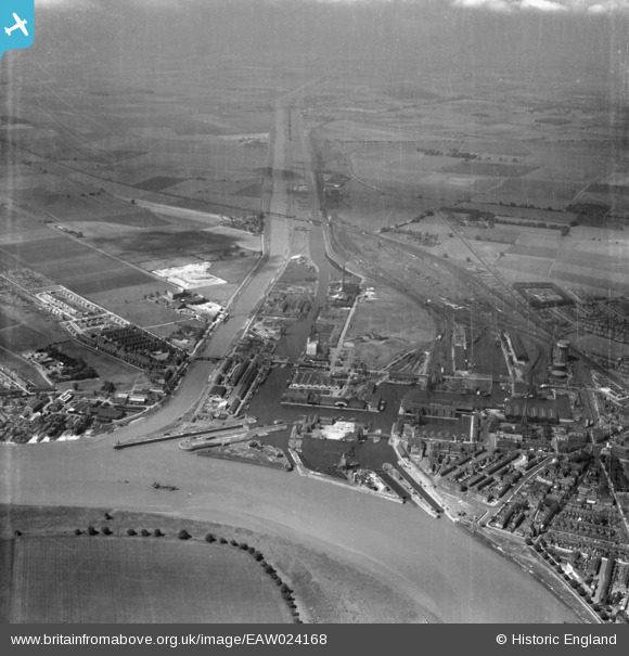
EAW024168 ENGLAND (1949). Goole Harbour, Goole, from the north-east, 1949
© Copyright OpenStreetMap contributors and licensed by the OpenStreetMap Foundation. 2026. Cartography is licensed as CC BY-SA.
Nearby Images (11)
EAW024168

EAW022511

EAW022510

EPW048855

EPW031448

EAW046153

EPW031415

EPW031414

EAW046154

EAW046152

EPW031440

Details
| Title | [EAW024168] Goole Harbour, Goole, from the north-east, 1949 |
| Reference | EAW024168 |
| Date | 23-June-1949 |
| Link | |
| Place name | GOOLE |
| Parish | GOOLE |
| District | |
| Country | ENGLAND |
| Easting / Northing | 474889, 423185 |
| Longitude / Latitude | -0.86554276238886, 53.699497690233 |
| National Grid Reference | SE749232 |
