
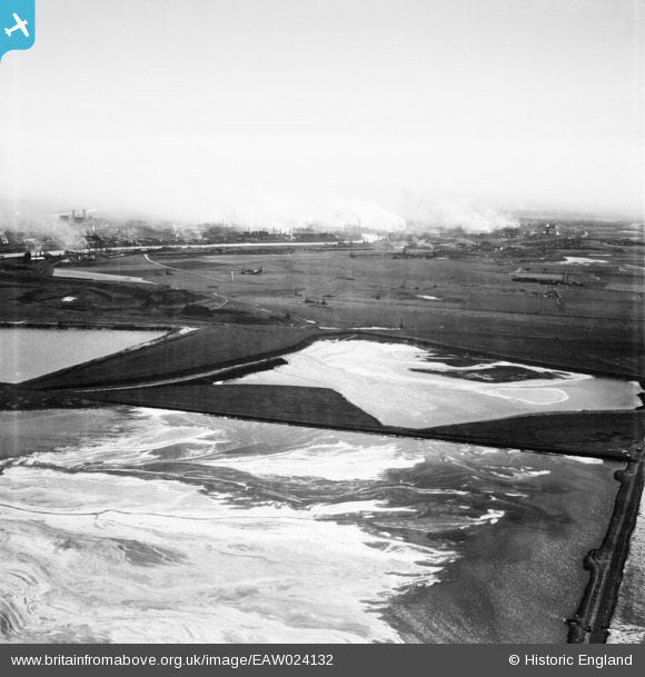
EAW024132 ENGLAND (1949). Ponds adjacent to Seal Sands with Middlesbrough in the distance, Port Clarence, from the north-east, 1949
© Copyright OpenStreetMap contributors and licensed by the OpenStreetMap Foundation. 2026. Cartography is licensed as CC BY-SA.
Nearby Images (2)
EAW024132

EPW038898

Details
| Title | [EAW024132] Ponds adjacent to Seal Sands with Middlesbrough in the distance, Port Clarence, from the north-east, 1949 |
| Reference | EAW024132 |
| Date | 22-June-1949 |
| Link | |
| Place name | PORT CLARENCE |
| Parish | BILLINGHAM |
| District | |
| Country | ENGLAND |
| Easting / Northing | 452503, 523279 |
| Longitude / Latitude | -1.1871779383038, 54.601833371942 |
| National Grid Reference | NZ525233 |
Pins

Matt Aldred edob.mattaldred.com |
Tuesday 1st of December 2020 07:18:42 PM | |
|
Matt Aldred edob.mattaldred.com |
Tuesday 1st of December 2020 07:18:24 PM | |

redmist |
Monday 28th of October 2019 10:18:12 AM | |
|
redmist |
Monday 28th of October 2019 10:16:59 AM | |
|
redmist |
Monday 28th of October 2019 10:15:12 AM |