
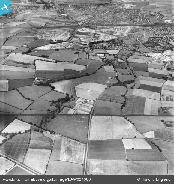
EAW024086 ENGLAND (1949). Countryside to the west of the town, Stockton-on-Tees, 1949. This image has been produced from a print.
© Copyright OpenStreetMap contributors and licensed by the OpenStreetMap Foundation. 2026. Cartography is licensed as CC BY-SA.
Nearby Images (2)
EAW024086

EAW020581

Details
| Title | [EAW024086] Countryside to the west of the town, Stockton-on-Tees, 1949. This image has been produced from a print. |
| Reference | EAW024086 |
| Date | 22-June-1949 |
| Link | |
| Place name | STOCKTON-ON-TEES |
| Parish | |
| District | |
| Country | ENGLAND |
| Easting / Northing | 442137, 520490 |
| Longitude / Latitude | -1.3480460082277, 54.577738967411 |
| National Grid Reference | NZ421205 |
Pins

J May |
Friday 14th of November 2014 01:22:13 PM | |
|
J May |
Friday 14th of November 2014 01:21:22 PM | |
|
J May |
Friday 14th of November 2014 01:21:02 PM | |
|
J May |
Friday 14th of November 2014 01:18:50 PM | |
|
J May |
Friday 14th of November 2014 01:18:14 PM | |
|
J May |
Friday 14th of November 2014 01:17:22 PM | |
|
J May |
Friday 14th of November 2014 01:13:00 PM | |
|
J May |
Friday 14th of November 2014 01:12:21 PM | |
|
J May |
Friday 14th of November 2014 01:11:38 PM | |
|
J May |
Friday 14th of November 2014 01:11:04 PM | |
|
J May |
Friday 14th of November 2014 01:10:43 PM | |
|
J May |
Friday 14th of November 2014 01:09:19 PM | |
|
J May |
Friday 14th of November 2014 01:08:44 PM | |
|
J May |
Friday 14th of November 2014 01:08:14 PM | |
|
J May |
Friday 14th of November 2014 01:06:57 PM |