
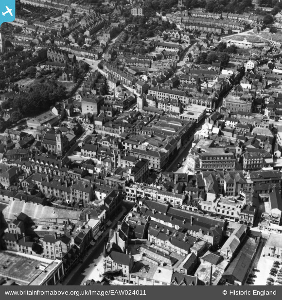
EAW024011 ENGLAND (1949). Saltergate and the High Street, Lincoln, 1949. This image has been produced from a print.
© Copyright OpenStreetMap contributors and licensed by the OpenStreetMap Foundation. 2026. Cartography is licensed as CC BY-SA.
Nearby Images (6)
EAW024011

EAW015705

EAW015706

EAW015704

EAW015707

EAW023937

Details
| Title | [EAW024011] Saltergate and the High Street, Lincoln, 1949. This image has been produced from a print. |
| Reference | EAW024011 |
| Date | 20-June-1949 |
| Link | |
| Place name | LINCOLN |
| Parish | |
| District | |
| Country | ENGLAND |
| Easting / Northing | 497490, 371319 |
| Longitude / Latitude | -0.53937132748809, 53.229670051197 |
| National Grid Reference | SK975713 |
Pins
Be the first to add a comment to this image!