
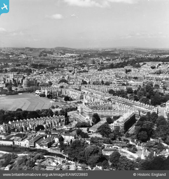
EAW023883 ENGLAND (1949). The city, Bath, from the east, 1949. This image has been produced from a print.
© Copyright OpenStreetMap contributors and licensed by the OpenStreetMap Foundation. 2026. Cartography is licensed as CC BY-SA.
Nearby Images (9)
EAW023883

EPW001955

EPW001937

EPW001938

EPW001954

EPW048378

EPW048379

EAW000751

EAW049899

Details
| Title | [EAW023883] The city, Bath, from the east, 1949. This image has been produced from a print. |
| Reference | EAW023883 |
| Date | 14-June-1949 |
| Link | |
| Place name | BATH |
| Parish | |
| District | |
| Country | ENGLAND |
| Easting / Northing | 375712, 165092 |
| Longitude / Latitude | -2.3490545265496, 51.38385774729 |
| National Grid Reference | ST757651 |
Pins
Be the first to add a comment to this image!