
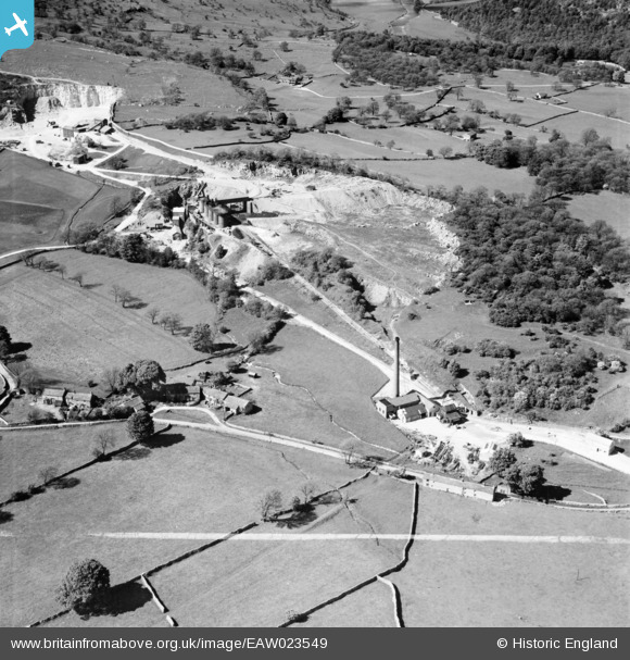
EAW023549 ENGLAND (1949). Threshfield Limestone Quarries, Threshfield, 1949
© Copyright OpenStreetMap contributors and licensed by the OpenStreetMap Foundation. 2026. Cartography is licensed as CC BY-SA.
Nearby Images (9)
EAW023549

EAW023550

EPW057367

EPW057364

EAW023555

EPW057368

EPW057365

EPW057363

EPW057366

Details
| Title | [EAW023549] Threshfield Limestone Quarries, Threshfield, 1949 |
| Reference | EAW023549 |
| Date | 28-May-1949 |
| Link | |
| Place name | THRESHFIELD |
| Parish | THRESHFIELD |
| District | |
| Country | ENGLAND |
| Easting / Northing | 397969, 463999 |
| Longitude / Latitude | -2.0310405810597, 54.071737166371 |
| National Grid Reference | SD980640 |
Pins

MB |
Thursday 26th of December 2013 10:06:08 AM |