
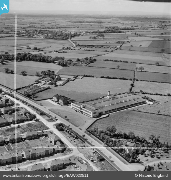
EAW023511 ENGLAND (1949). The Daylight Bakery and environs, Stockton-on-Tees, from the north-east, 1949. This image was marked by Aerofilms Ltd for photo editing.
© Copyright OpenStreetMap contributors and licensed by the OpenStreetMap Foundation. 2026. Cartography is licensed as CC BY-SA.
Nearby Images (19)
EAW023511

EAW016856

EAW016859

EAW020571

EAW016857

EAW023506

EAW023505

EAW020570

EAW016858

EAW020583

EAW023510

EAW020573

EAW020577

EAW023514

EAW016861

EAW020578

EAW020572

EAW016860

EAW023509

Details
| Title | [EAW023511] The Daylight Bakery and environs, Stockton-on-Tees, from the north-east, 1949. This image was marked by Aerofilms Ltd for photo editing. |
| Reference | EAW023511 |
| Date | 28-May-1949 |
| Link | |
| Place name | STOCKTON-ON-TEES |
| Parish | |
| District | |
| Country | ENGLAND |
| Easting / Northing | 442989, 520145 |
| Longitude / Latitude | -1.3349151220563, 54.5745666464 |
| National Grid Reference | NZ430201 |
Pins
Be the first to add a comment to this image!