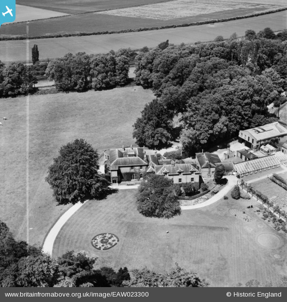
EAW023300 ENGLAND (1949). Paxton Hill House, Great Paxton, 1949. This image was marked by Aerofilms Ltd for photo editing.

© Copyright OpenStreetMap contributors and licensed by the OpenStreetMap Foundation. 2025. Cartography is licensed as CC BY-SA.

Nearby Images (5)

EAW023300
  0° 0m
EAW023298
  14° 4m
EAW023297
  50° 20m
EAW023301
  86° 102m
EAW023299
  112° 110m

Details

Title [EAW023300] Paxton Hill House, Great Paxton, 1949. This image was marked by Aerofilms Ltd for photo editing.
Reference EAW023300
Date 25-May-1949
Link
Place name GREAT PAXTON
Parish GREAT PAXTON
District
Country ENGLAND
Easting / Northing 520410, 262368
Longitude / Latitude -0.23612545755641, 52.245906855798
National Grid Reference TL204624

Pins

Railway Line - East Coast Mainline (Peterborough to Sandy (GNR)) Next stations: To the left, St Neots, to the right, Huntingdon. The southern section of the main line, between Maiden Lane and Peterborough, was not opened until August 1850. St. Neots was one of the original stations, opening with the line on 7 August 1850

totoro
Friday 22nd of August 2014 06:28:00 PM
Paxton Hill House Paxton Hill, Great Paxton, Cambridgeshire PE19 6RA Grade 2 listed. English Heritage Building ID: 54356. Early C19 country house with service wings to North. Enlarged in late C19. The house is in private ownership. The site currently includes self catering accomodation in three parts, the garden house (a wing of the main house), the lodge, and the loft. The tennis court is described as usable but elderly. In 1924/5 the "New Titan Works" was built nearby, an intensive poultry farm which later became a rabbit fur farm. Empty for some years, by World War 2 it became Harley Works, making aircraft landing lights. Now demolished, the site is a small industrial park.

totoro
Friday 22nd of August 2014 06:25:08 PM