
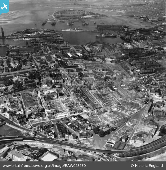
EAW023270 ENGLAND (1949). Cleared areas following bomb damage around Portsea and environs, Portsmouth, 1949. This image has been produced from a print.
© Copyright OpenStreetMap contributors and licensed by the OpenStreetMap Foundation. 2026. Cartography is licensed as CC BY-SA.
Nearby Images (2)
EAW023270

EAW035210

Details
| Title | [EAW023270] Cleared areas following bomb damage around Portsea and environs, Portsmouth, 1949. This image has been produced from a print. |
| Reference | EAW023270 |
| Date | 19-May-1949 |
| Link | |
| Place name | PORTSMOUTH |
| Parish | |
| District | |
| Country | ENGLAND |
| Easting / Northing | 463358, 100431 |
| Longitude / Latitude | -1.1008508292773, 50.799407691703 |
| National Grid Reference | SU634004 |
Pins

elanbretta |
Tuesday 9th of February 2016 01:12:22 PM | |
|
elanbretta |
Tuesday 9th of February 2016 01:10:45 PM | |
|
chainbull |
Friday 14th of November 2014 04:37:08 PM |