
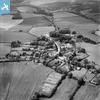
EAW023240 ENGLAND (1949). The village, Ashmore, 1949

© Copyright OpenStreetMap contributors and licensed by the OpenStreetMap Foundation. 2026. Cartography is licensed as CC BY-SA.
Nearby Images (5)
EAW023240
 0°
0m
0°
0m
EAW023239
 3°
56m
3°
56m
EAW023236
 58°
83m
58°
83m
EAW023238
 320°
91m
320°
91m
EAW023237
 32°
117m
32°
117m
Details
| Title | [EAW023240] The village, Ashmore, 1949 |
| Reference | EAW023240 |
| Date | 19-May-1949 |
| Link | |
| Place name | ASHMORE |
| Parish | ASHMORE |
| District | |
| Country | ENGLAND |
| Easting / Northing | 391265, 117786 |
| Longitude / Latitude | -2.1243861747659, 50.958887915489 |
| National Grid Reference | ST913178 |
Pins

 St. Nicholas' Church, Ashmore, 21/02/2015
User Comment Contributions
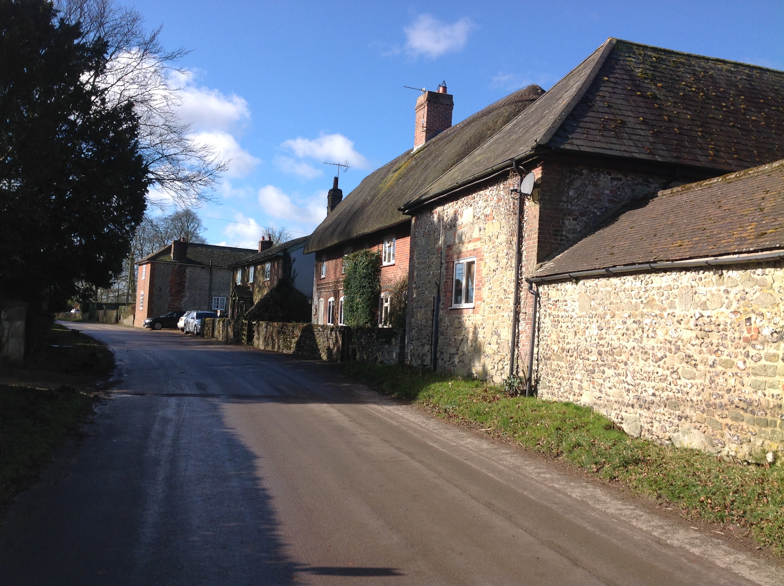
Ashmore, 21/02/2015 |

Class31 |
Saturday 21st of February 2015 10:10:12 PM |
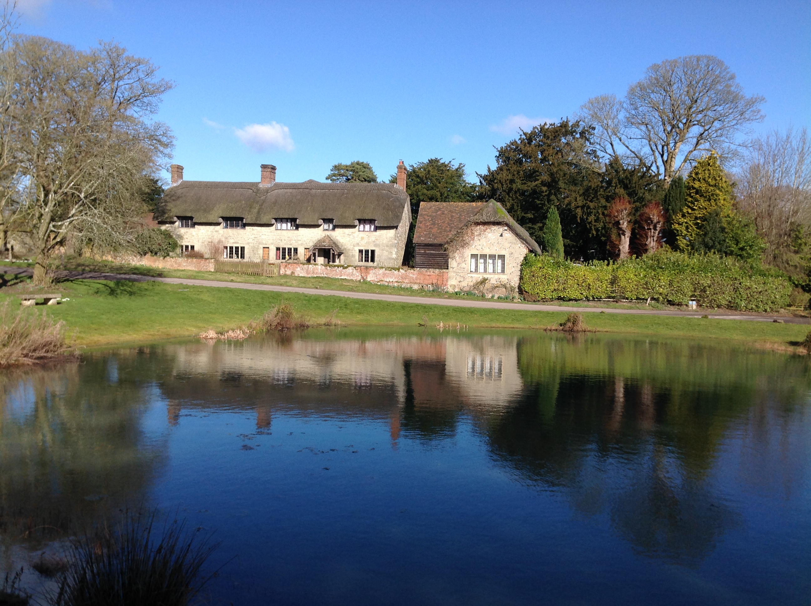
Ashmore Pond, 21/02/2015 |
Class31 |
Saturday 21st of February 2015 10:08:48 PM |
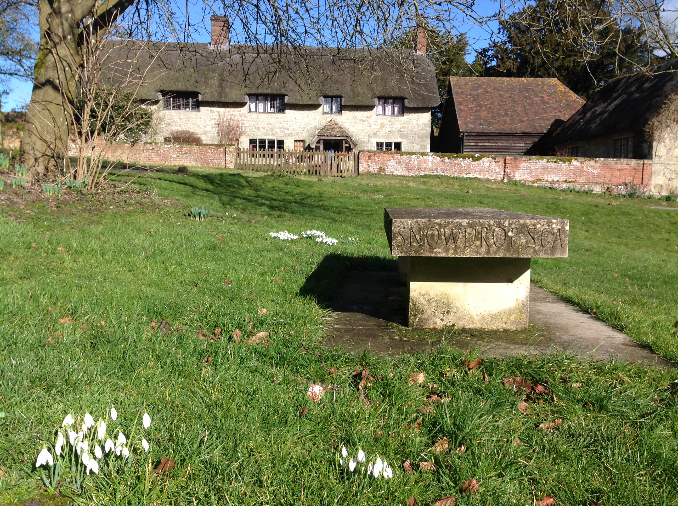
Snowdrops, Ashmore, 21/02/2015 |
Class31 |
Saturday 21st of February 2015 10:06:36 PM |

War Memorial, Ashmore, 21/02/2015 |
Class31 |
Saturday 21st of February 2015 10:04:51 PM |