
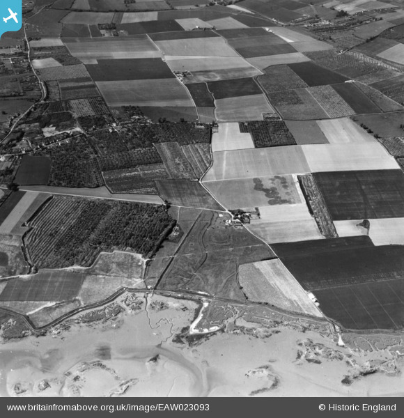
EAW023093 ENGLAND (1949). Abbot's Court and environs, Hoo St Werburgh, 1949. This image has been produced from a print.
© Copyright OpenStreetMap contributors and licensed by the OpenStreetMap Foundation. 2026. Cartography is licensed as CC BY-SA.
Details
| Title | [EAW023093] Abbot's Court and environs, Hoo St Werburgh, 1949. This image has been produced from a print. |
| Reference | EAW023093 |
| Date | 10-May-1949 |
| Link | |
| Place name | HOO ST WERBURGH |
| Parish | HOO ST. WERBURGH |
| District | |
| Country | ENGLAND |
| Easting / Northing | 579239, 172182 |
| Longitude / Latitude | 0.57813771109001, 51.419778227567 |
| National Grid Reference | TQ792722 |
Pins

cptpies |
Friday 6th of October 2017 09:08:46 AM | |
|
cptpies |
Friday 6th of October 2017 09:08:16 AM | |
|
cptpies |
Friday 6th of October 2017 09:07:46 AM | |
|
cptpies |
Friday 6th of October 2017 09:04:03 AM | |
|
cptpies |
Friday 6th of October 2017 09:03:39 AM | |
|
cptpies |
Friday 6th of October 2017 09:02:49 AM | |
|
cptpies |
Friday 6th of October 2017 09:02:08 AM | |
|
cptpies |
Friday 6th of October 2017 09:01:39 AM | |
|
cptpies |
Friday 6th of October 2017 09:01:10 AM |
User Comment Contributions

WW2 Pillbox and anti tank blocks |
jrussill |
Thursday 27th of November 2014 01:30:49 PM |