
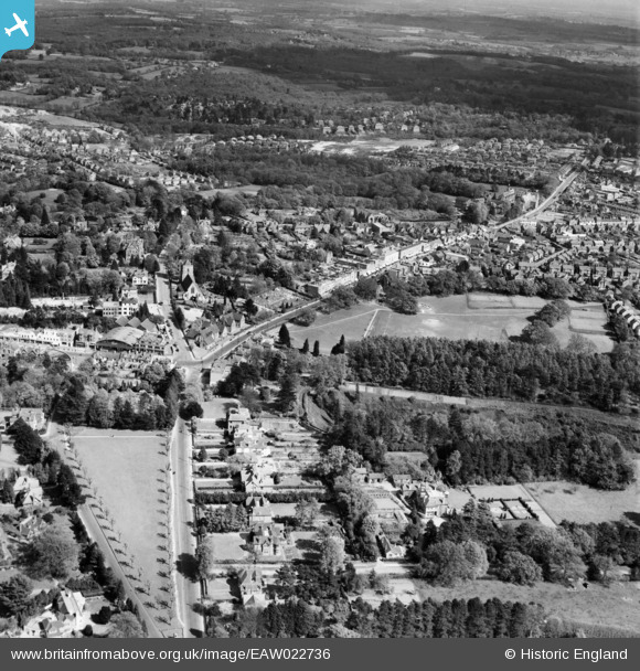
EAW022736 ENGLAND (1949). Victoria Park Recreation Ground, South Road and environs, Haywards Heath, from the west, 1949
© Copyright OpenStreetMap contributors and licensed by the OpenStreetMap Foundation. 2025. Cartography is licensed as CC BY-SA.
Nearby Images (2)
EAW022736

EPW039527

Details
| Title | [EAW022736] Victoria Park Recreation Ground, South Road and environs, Haywards Heath, from the west, 1949 |
| Reference | EAW022736 |
| Date | 29-April-1949 |
| Link | |
| Place name | HAYWARDS HEATH |
| Parish | HAYWARDS HEATH |
| District | |
| Country | ENGLAND |
| Easting / Northing | 532825, 123796 |
| Longitude / Latitude | -0.10692839639835, 50.997665782844 |
| National Grid Reference | TQ328238 |
Pins

Jill Harwood |
Thursday 26th of August 2021 09:48:57 AM | |
|
Jill Harwood |
Thursday 26th of August 2021 09:47:55 AM | |
|
Jill Harwood |
Thursday 26th of August 2021 09:35:56 AM | |
|
Jill Harwood |
Thursday 26th of August 2021 09:33:10 AM | |
|
Jill Harwood |
Thursday 26th of August 2021 09:30:53 AM | |
|
toby starr |
Monday 26th of October 2020 08:37:07 AM | |
|
M Anton |
Saturday 22nd of June 2019 07:53:29 PM | |
|
M Anton |
Saturday 22nd of June 2019 07:52:40 PM | |
|
M Anton |
Monday 16th of April 2018 07:03:35 PM | |
|
M Anton |
Monday 16th of April 2018 06:58:21 PM | |
|
M Anton |
Monday 16th of April 2018 06:50:27 PM | |
|
John W |
Saturday 11th of June 2016 06:16:52 PM | |
|
Jill Harwood |
Monday 28th of July 2014 03:42:15 PM | |

Alan McFaden |
Wednesday 25th of December 2013 04:11:02 PM | |
|
Alan McFaden |
Wednesday 25th of December 2013 04:10:09 PM | |
|
Alan McFaden |
Wednesday 25th of December 2013 04:09:18 PM | |
|
Alan McFaden |
Wednesday 25th of December 2013 04:02:35 PM | |
|
Alan McFaden |
Wednesday 25th of December 2013 04:02:07 PM |


