
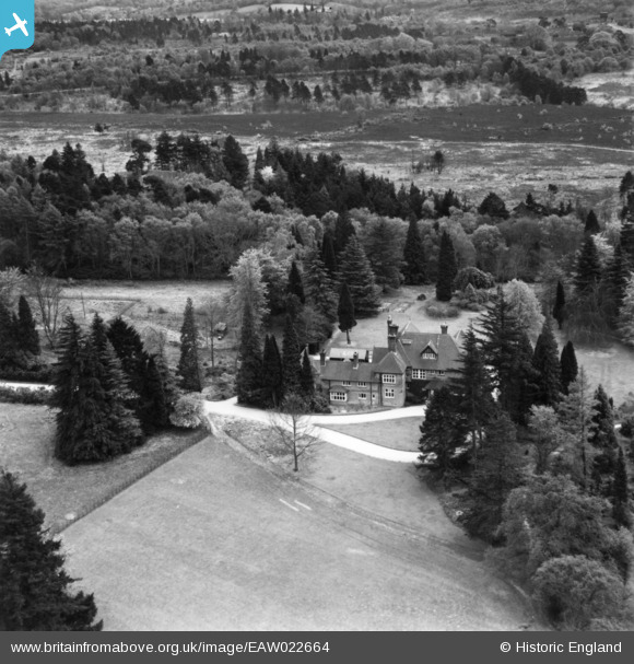
EAW022664 ENGLAND (1949). Bramshott Chase, Bramshott, 1949. This image has been produced from a print.
© Copyright OpenStreetMap contributors and licensed by the OpenStreetMap Foundation. 2025. Cartography is licensed as CC BY-SA.
Nearby Images (5)
EAW022664

EAW022663

EAW022667

EAW022666

EAW022665

Details
| Title | [EAW022664] Bramshott Chase, Bramshott, 1949. This image has been produced from a print. |
| Reference | EAW022664 |
| Date | 25-April-1949 |
| Link | |
| Place name | BRAMSHOTT |
| Parish | BRAMSHOTT AND LIPHOOK |
| District | |
| Country | ENGLAND |
| Easting / Northing | 486584, 134163 |
| Longitude / Latitude | -0.76328460080633, 51.099695748594 |
| National Grid Reference | SU866342 |
Pins
Be the first to add a comment to this image!