
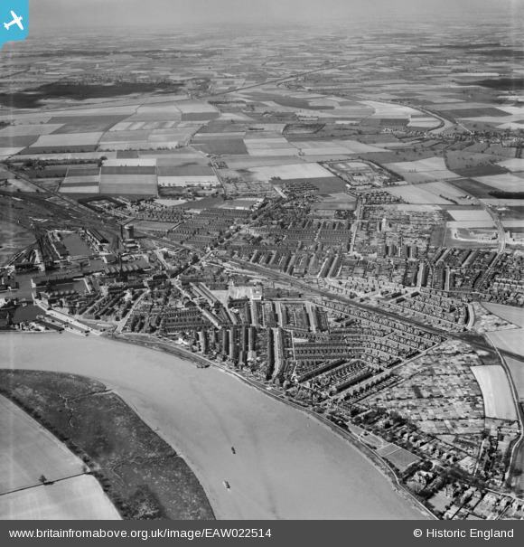
EAW022514 ENGLAND (1949). The town, Goole, from the east, 1949
© Copyright OpenStreetMap contributors and licensed by the OpenStreetMap Foundation. 2025. Cartography is licensed as CC BY-SA.
Nearby Images (4)
EAW022514

EPW031434

EPW031433

EPW031442

Details
| Title | [EAW022514] The town, Goole, from the east, 1949 |
| Reference | EAW022514 |
| Date | 20-April-1949 |
| Link | |
| Place name | GOOLE |
| Parish | GOOLE |
| District | |
| Country | ENGLAND |
| Easting / Northing | 475221, 423793 |
| Longitude / Latitude | -0.86036691256792, 53.70491429056 |
| National Grid Reference | SE752238 |
Pins

redmist |
Tuesday 30th of November 2021 04:01:16 PM | |
|
DaveH |
Wednesday 17th of March 2021 03:02:55 AM | |
|
redmist |
Wednesday 16th of September 2020 09:36:20 AM | |
|
redmist |
Wednesday 16th of September 2020 09:35:58 AM | |
|
redmist |
Tuesday 12th of May 2020 02:15:00 PM | |
|
redmist |
Tuesday 12th of May 2020 02:14:17 PM |