
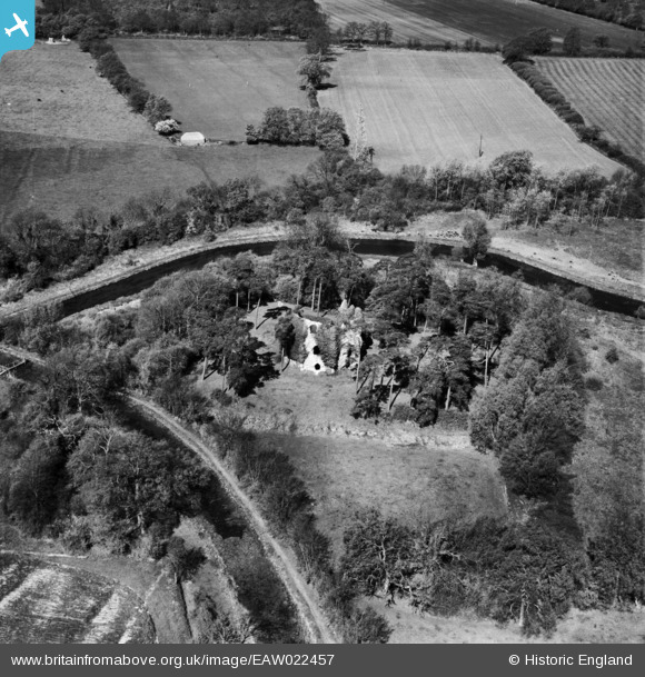
EAW022457 ENGLAND (1949). Odiham Castle, North Warnborough, 1949
© Copyright OpenStreetMap contributors and licensed by the OpenStreetMap Foundation. 2026. Cartography is licensed as CC BY-SA.
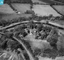
Nearby Images (4)
EAW022457

EAW035282

EAW022456

EAW035283

Details
| Title | [EAW022457] Odiham Castle, North Warnborough, 1949 |
| Reference | EAW022457 |
| Date | 22-April-1949 |
| Link | |
| Place name | NORTH WARNBOROUGH |
| Parish | ODIHAM |
| District | |
| Country | ENGLAND |
| Easting / Northing | 472548, 151885 |
| Longitude / Latitude | -0.9601488713589, 51.260991915957 |
| National Grid Reference | SU725519 |
Pins

totoro |
Sunday 29th of December 2013 01:18:14 PM | |
|
totoro |
Sunday 29th of December 2013 01:07:43 PM | |
|
totoro |
Sunday 29th of December 2013 01:06:25 PM |
User Comment Contributions
Basingstoke canal It's history can be read about in P.A.L. Vine's 'London's Lost Route to Basingstoke' Clarke,Double & Brendon 1968. |
Where's Canning Town? |
Friday 14th of March 2014 08:34:30 PM |