
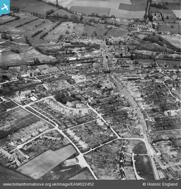
EAW022452 ENGLAND (1949). The town centre, Hungerford, 1949
© Copyright OpenStreetMap contributors and licensed by the OpenStreetMap Foundation. 2026. Cartography is licensed as CC BY-SA.
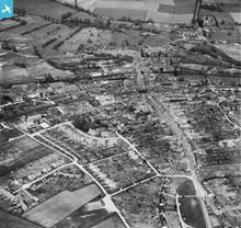
Nearby Images (2)
EAW022452

EPW011136

Details
| Title | [EAW022452] The town centre, Hungerford, 1949 |
| Reference | EAW022452 |
| Date | 22-April-1949 |
| Link | |
| Place name | HUNGERFORD |
| Parish | HUNGERFORD |
| District | |
| Country | ENGLAND |
| Easting / Northing | 433672, 168475 |
| Longitude / Latitude | -1.5157668325164, 51.413799558392 |
| National Grid Reference | SU337685 |
Pins

Matt Aldred edob.mattaldred.com |
Thursday 8th of May 2025 02:30:00 PM | |
|
Matt Aldred edob.mattaldred.com |
Monday 30th of November 2020 09:54:14 PM | |

John W |
Friday 24th of March 2017 08:20:46 PM | |
|
John W |
Friday 24th of March 2017 08:14:52 PM | |
|
John W |
Friday 24th of March 2017 08:14:02 PM | |
|
John W |
Friday 24th of March 2017 08:01:04 PM | |

melgibbs |
Monday 21st of April 2014 04:53:23 PM | |
|
cptpies |
Tuesday 17th of December 2013 12:54:55 PM | |
On the north side of Hungerford lock on the Kennet and Avon Canal - the canal was to form a major line of resistance during WW2 should the Germans have invaded the country. |
John W |
Friday 24th of March 2017 08:17:03 PM |
User Comment Contributions
Hungerford pillbox. |
cptpies |
Thursday 19th of December 2013 01:44:47 PM |