
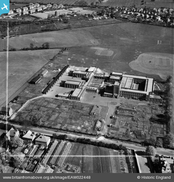
EAW022448 ENGLAND (1949). Hampton Grammar School, Hampton, 1949. This image was marked by Aerofilms Ltd for photo editing.
© Copyright OpenStreetMap contributors and licensed by the OpenStreetMap Foundation. 2025. Cartography is licensed as CC BY-SA.
Nearby Images (4)
EAW022448

EAW022449

EAW022451

EAW022450

Details
| Title | [EAW022448] Hampton Grammar School, Hampton, 1949. This image was marked by Aerofilms Ltd for photo editing. |
| Reference | EAW022448 |
| Date | 22-April-1949 |
| Link | |
| Place name | HAMPTON |
| Parish | |
| District | |
| Country | ENGLAND |
| Easting / Northing | 513287, 171234 |
| Longitude / Latitude | -0.37027328348151, 51.428281392914 |
| National Grid Reference | TQ133712 |
