
EAW022310 ENGLAND (1949). The city, Winchester, from the south-west, 1949

© Copyright OpenStreetMap contributors and licensed by the OpenStreetMap Foundation. 2026. Cartography is licensed as CC BY-SA.
Nearby Images (4)
EAW022310

EAW051298

EPW016868

EPW016869

Details
| Title | [EAW022310] The city, Winchester, from the south-west, 1949 |
| Reference | EAW022310 |
| Date | 18-April-1949 |
| Link | |
| Place name | WINCHESTER |
| Parish | |
| District | |
| Country | ENGLAND |
| Easting / Northing | 447910, 129330 |
| Longitude / Latitude | -1.3162632219859, 51.060772660152 |
| National Grid Reference | SU479293 |
Pins

David960 |
Sunday 24th of April 2016 04:03:12 PM | |
|
David960 |
Sunday 24th of April 2016 04:00:42 PM | |
|
gBr |
Tuesday 1st of December 2015 05:18:34 PM | |

Alan McFaden |
Saturday 30th of August 2014 10:51:00 AM |

User Comment Contributions
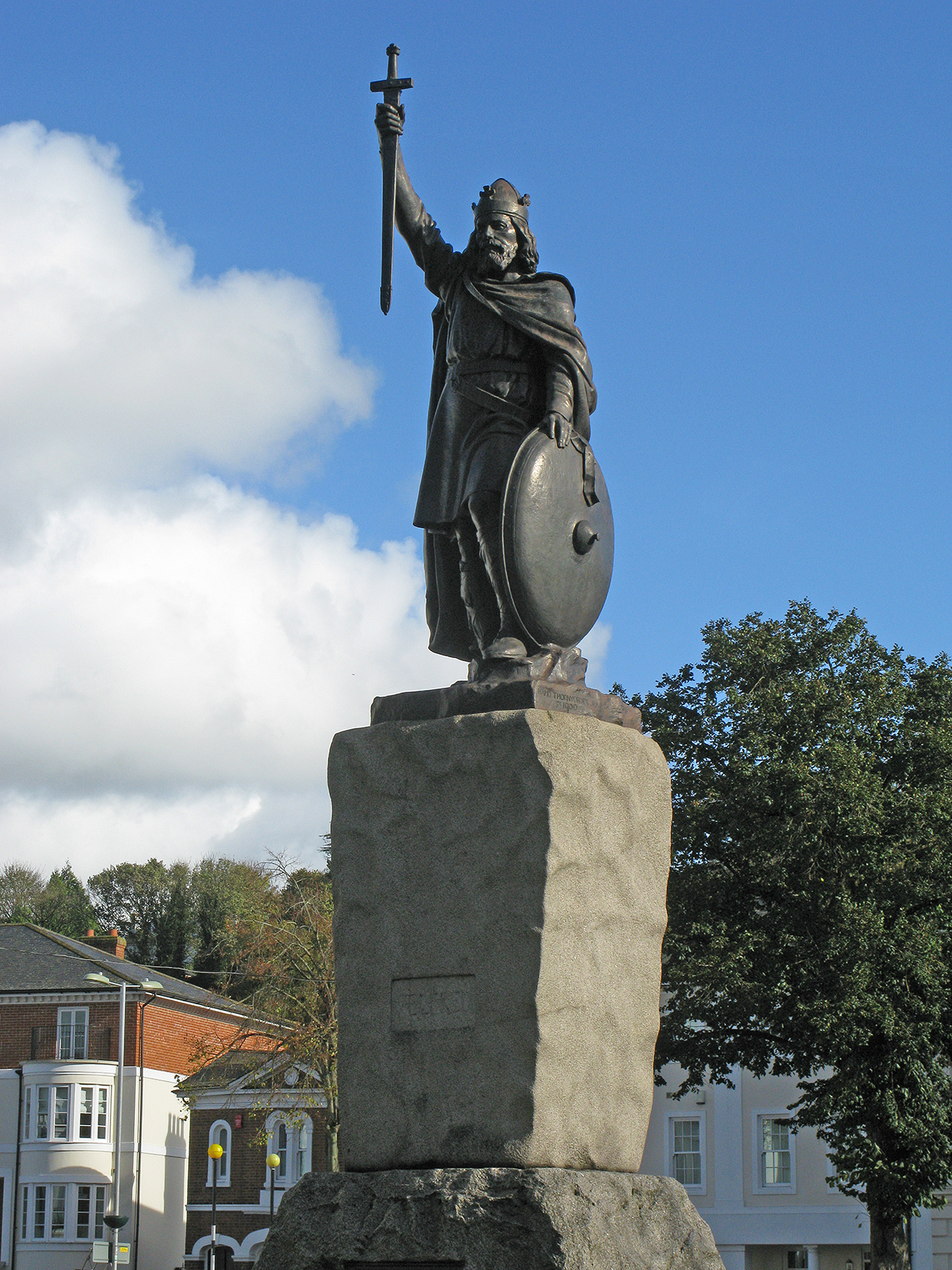
King Alfred Statue |
Alan McFaden |
Saturday 30th of August 2014 10:52:55 AM |
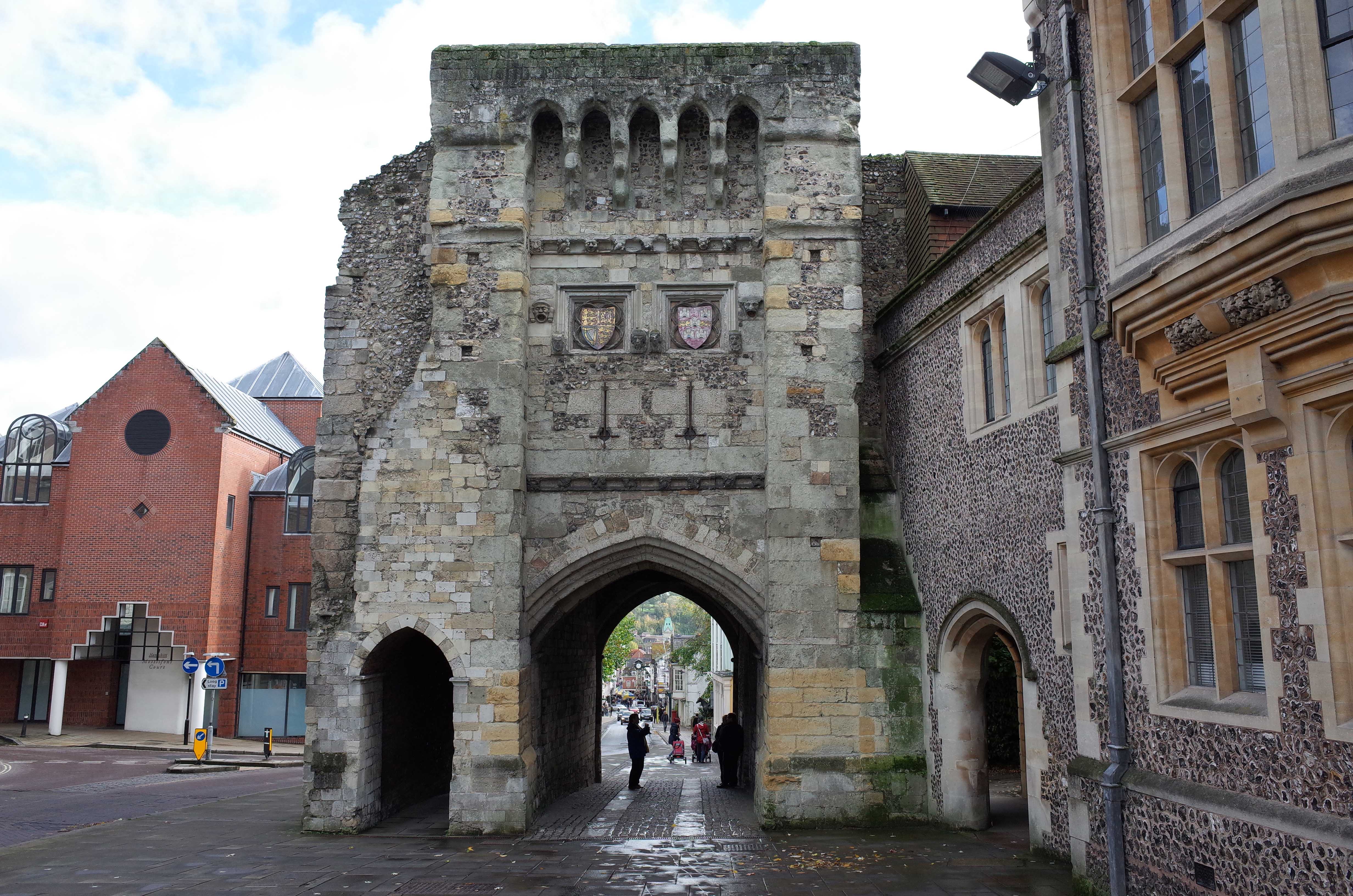
West Gate |
Alan McFaden |
Saturday 30th of August 2014 10:52:29 AM |

Winchester Museum |
Alan McFaden |
Saturday 30th of August 2014 10:52:09 AM |

Winchester Library |
Alan McFaden |
Saturday 30th of August 2014 10:51:42 AM |