
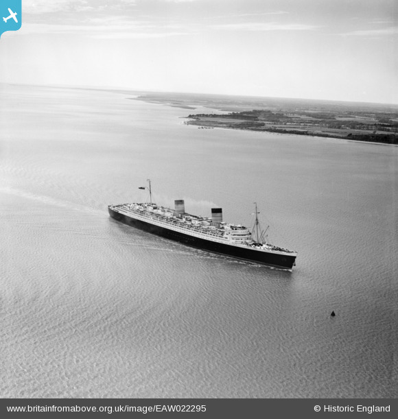
EAW022295 ENGLAND (1949). RMS Queen Elizabeth in the Solent between Cowes and Stansore Point, Stanswood Bay, from the south-east, 1949
© Copyright OpenStreetMap contributors and licensed by the OpenStreetMap Foundation. 2026. Cartography is licensed as CC BY-SA.
Nearby Images (2)
EAW022295

EAW022300

Details
| Title | [EAW022295] RMS Queen Elizabeth in the Solent between Cowes and Stansore Point, Stanswood Bay, from the south-east, 1949 |
| Reference | EAW022295 |
| Date | 18-April-1949 |
| Link | |
| Place name | STANSWOOD BAY |
| Parish | FAWLEY |
| District | |
| Country | ENGLAND |
| Easting / Northing | 447833, 98165 |
| Longitude / Latitude | -1.3214507791639, 50.780519588731 |
| National Grid Reference | SZ478982 |
Pins
Be the first to add a comment to this image!