
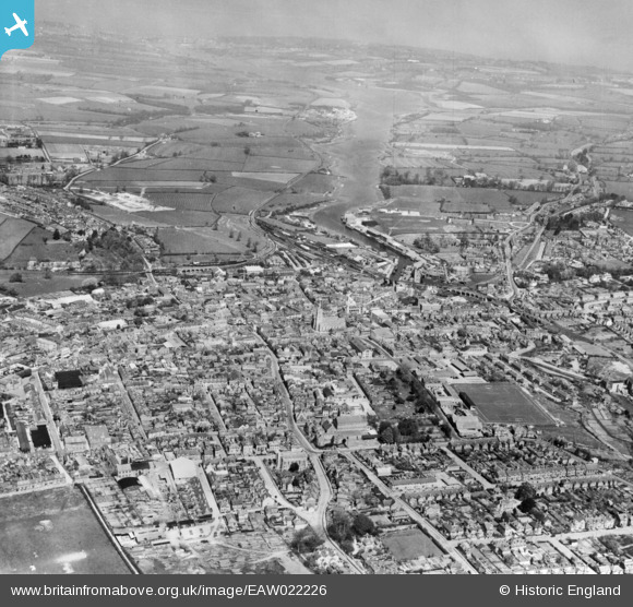
EAW022226 ENGLAND (1949). The town, Newport, from the south, 1949. This image has been produced from a copy-negative.
© Copyright OpenStreetMap contributors and licensed by the OpenStreetMap Foundation. 2026. Cartography is licensed as CC BY-SA.
Nearby Images (5)
EAW022226

EPW023024

EPW039657

EAW022227

EAW003000

Details
| Title | [EAW022226] The town, Newport, from the south, 1949. This image has been produced from a copy-negative. |
| Reference | EAW022226 |
| Date | 17-April-1949 |
| Link | |
| Place name | NEWPORT |
| Parish | NEWPORT |
| District | |
| Country | ENGLAND |
| Easting / Northing | 449869, 88813 |
| Longitude / Latitude | -1.2938367439281, 50.696245516486 |
| National Grid Reference | SZ499888 |
Pins
Be the first to add a comment to this image!