
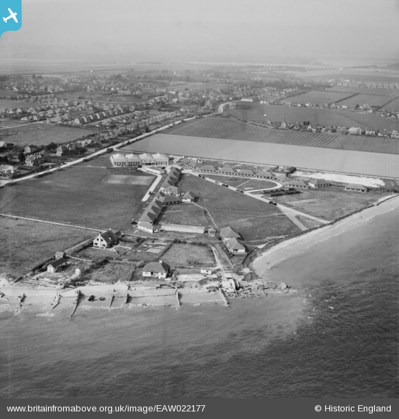
EAW022177 ENGLAND (1949). Broadreeds Holiday Camp and Selsey Bill, Selsey, from the south-east, 1949
© Copyright OpenStreetMap contributors and licensed by the OpenStreetMap Foundation. 2026. Cartography is licensed as CC BY-SA.
Nearby Images (3)
EAW022177

EPW024675

EAW022176

Details
| Title | [EAW022177] Broadreeds Holiday Camp and Selsey Bill, Selsey, from the south-east, 1949 |
| Reference | EAW022177 |
| Date | 17-April-1949 |
| Link | |
| Place name | SELSEY |
| Parish | SELSEY |
| District | |
| Country | ENGLAND |
| Easting / Northing | 485820, 92129 |
| Longitude / Latitude | -0.78408292002737, 50.721867368798 |
| National Grid Reference | SZ858921 |
Pins

Mazzie |
Friday 11th of November 2022 09:52:15 PM |
User Comment Contributions
Nice view of our house in 1949. |
block F |
Wednesday 10th of June 2015 09:14:46 AM |