
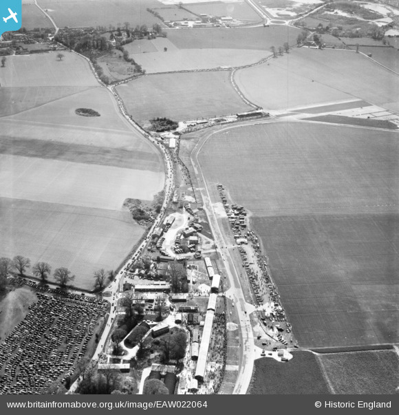
EAW022064 ENGLAND (1949). Westhampnett, Goodwood Motor Circuit on a race day, 1949
© Copyright OpenStreetMap contributors and licensed by the OpenStreetMap Foundation. 2026. Cartography is licensed as CC BY-SA.
Nearby Images (7)
EAW022064

EAW022062

EAW022065

EAW022053

EAW022070

EAW022063

EAW022071

Details
| Title | [EAW022064] Westhampnett, Goodwood Motor Circuit on a race day, 1949 |
| Reference | EAW022064 |
| Date | 9-April-1949 |
| Link | |
| Place name | WESTHAMPNETT |
| Parish | WESTHAMPNETT |
| District | |
| Country | ENGLAND |
| Easting / Northing | 487917, 107183 |
| Longitude / Latitude | -0.75077671208423, 50.856911358389 |
| National Grid Reference | SU879072 |
Pins

Billy Turner |
Tuesday 15th of December 2015 10:13:04 PM | |
|
Billy Turner |
Tuesday 15th of December 2015 09:51:45 PM | |

pffoto |
Tuesday 2nd of September 2014 08:37:57 PM | |
|
pffoto |
Tuesday 2nd of September 2014 08:36:29 PM |


User Comment Contributions

Goodwood. |
Scorrybreck |
Sunday 16th of March 2014 09:25:35 PM |