
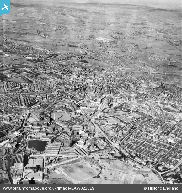
EAW022019 ENGLAND (1949). The town centre, Rochdale, from the south-west, 1949
© Copyright OpenStreetMap contributors and licensed by the OpenStreetMap Foundation. 2025. Cartography is licensed as CC BY-SA.
Nearby Images (3)
EAW022019

EPW016782

EAW022018

Details
| Title | [EAW022019] The town centre, Rochdale, from the south-west, 1949 |
| Reference | EAW022019 |
| Date | 14-April-1949 |
| Link | |
| Place name | ROCHDALE |
| Parish | |
| District | |
| Country | ENGLAND |
| Easting / Northing | 389169, 412943 |
| Longitude / Latitude | -2.1637337299069, 53.612689517212 |
| National Grid Reference | SD892129 |
