
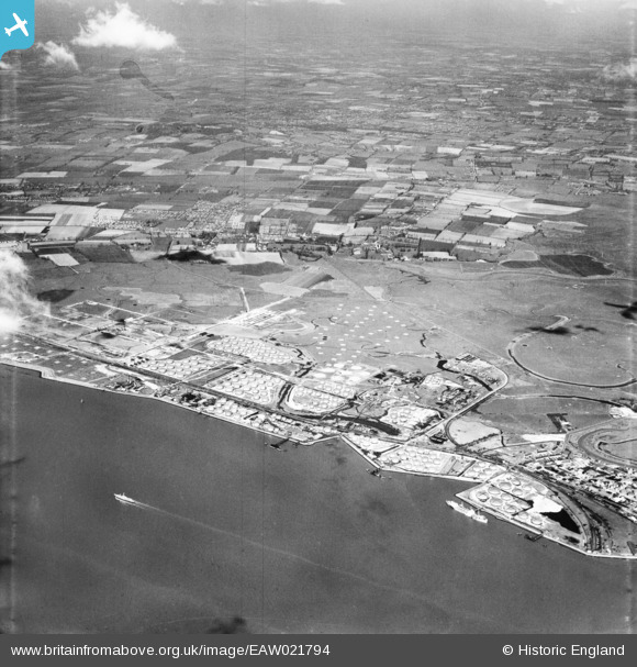
EAW021794 ENGLAND (1949). The Shell Haven Oil Refinery, Thames Haven, from the south-east, 1949
© Copyright OpenStreetMap contributors and licensed by the OpenStreetMap Foundation. 2026. Cartography is licensed as CC BY-SA.
Nearby Images (5)
EAW021794

EAW021793

EPW010979

EAW021805

EAW021802

Details
| Title | [EAW021794] The Shell Haven Oil Refinery, Thames Haven, from the south-east, 1949 |
| Reference | EAW021794 |
| Date | 9-April-1949 |
| Link | |
| Place name | THAMES HAVEN |
| Parish | |
| District | |
| Country | ENGLAND |
| Easting / Northing | 573204, 181525 |
| Longitude / Latitude | 0.49599899244621, 51.505592414891 |
| National Grid Reference | TQ732815 |
