
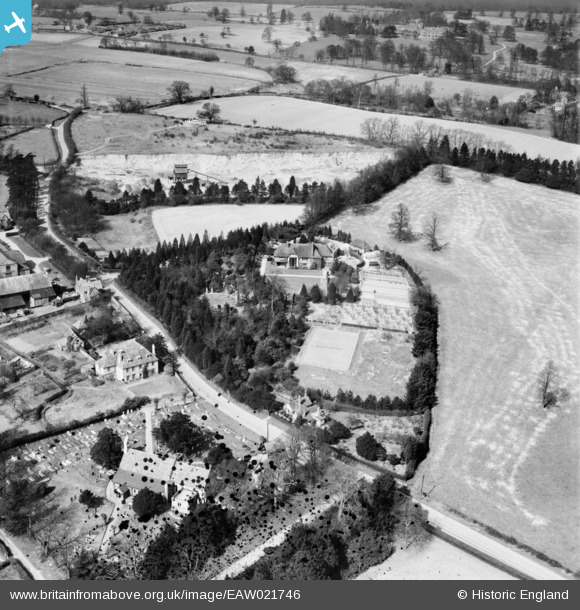
EAW021746 ENGLAND (1949). Falcon Hall and St Laurence's Church, Wormley, 1949. This image has been produced from a damaged negative.
© Copyright OpenStreetMap contributors and licensed by the OpenStreetMap Foundation. 2026. Cartography is licensed as CC BY-SA.
Nearby Images (4)
EAW021746

EAW021745

EAW021743

EAW021744

Details
| Title | [EAW021746] Falcon Hall and St Laurence's Church, Wormley, 1949. This image has been produced from a damaged negative. |
| Reference | EAW021746 |
| Date | 1-April-1949 |
| Link | |
| Place name | WORMLEY |
| Parish | |
| District | |
| Country | ENGLAND |
| Easting / Northing | 535504, 206029 |
| Longitude / Latitude | -0.037417142303681, 51.736111488622 |
| National Grid Reference | TL355060 |
Pins
Be the first to add a comment to this image!