
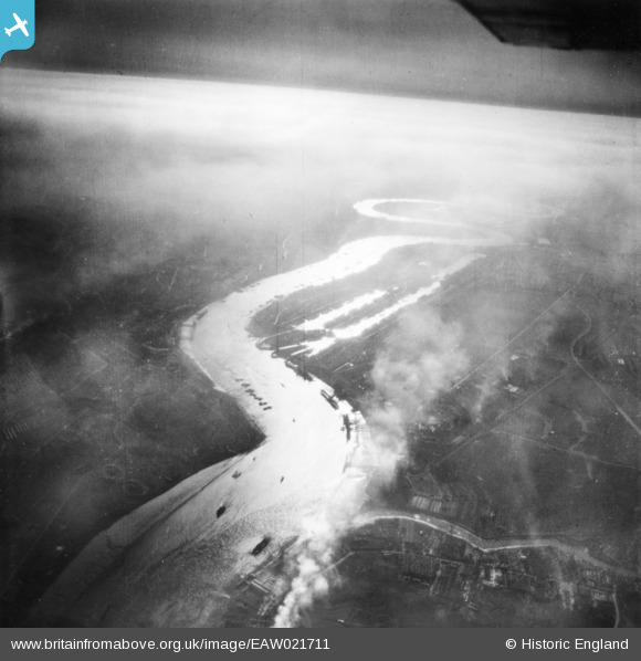
EAW021711 ENGLAND (1949). The River Thames, Beckton, from the north-east, 1949. This image has been produced from a print.
© Copyright OpenStreetMap contributors and licensed by the OpenStreetMap Foundation. 2026. Cartography is licensed as CC BY-SA.
Nearby Images (4)
EAW021711

EPW025604

EPW025603

EPW025605

Details
| Title | [EAW021711] The River Thames, Beckton, from the north-east, 1949. This image has been produced from a print. |
| Reference | EAW021711 |
| Date | 26-March-1949 |
| Link | |
| Place name | BECKTON |
| Parish | |
| District | |
| Country | ENGLAND |
| Easting / Northing | 545105, 181329 |
| Longitude / Latitude | 0.091308965070352, 51.511746449426 |
| National Grid Reference | TQ451813 |
Pins
Be the first to add a comment to this image!