
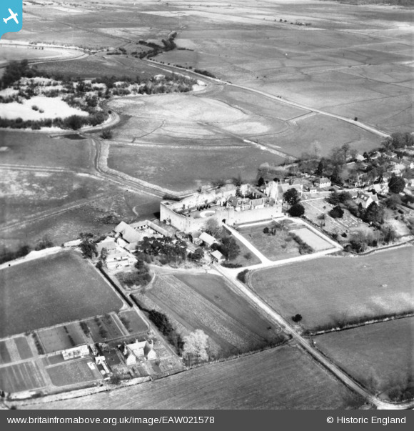
EAW021578 ENGLAND (1949). Amberley Castle, Amberley, 1949. This image has been produced from a print.
© Copyright OpenStreetMap contributors and licensed by the OpenStreetMap Foundation. 2026. Cartography is licensed as CC BY-SA.
Nearby Images (7)
EAW021578

EAW050665

EAW050667

EAW050666

EAW050668

EAW021577

EAW021579

Details
| Title | [EAW021578] Amberley Castle, Amberley, 1949. This image has been produced from a print. |
| Reference | EAW021578 |
| Date | 21-March-1949 |
| Link | |
| Place name | AMBERLEY |
| Parish | AMBERLEY |
| District | |
| Country | ENGLAND |
| Easting / Northing | 502717, 113211 |
| Longitude / Latitude | -0.53885498607431, 50.908666422261 |
| National Grid Reference | TQ027132 |
Pins
Be the first to add a comment to this image!