
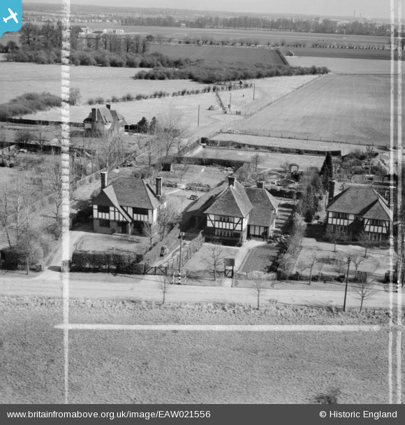
EAW021556 ENGLAND (1949). Elm House and Bracken Cottage on Old Marsh Lane, Dorney Reach, 1949. This image was marked by Aerofilms Ltd for photo editing.
© Copyright OpenStreetMap contributors and licensed by the OpenStreetMap Foundation. 2026. Cartography is licensed as CC BY-SA.
Nearby Images (4)
EAW021556

EAW021555

EAW021558

EAW021557

Details
| Title | [EAW021556] Elm House and Bracken Cottage on Old Marsh Lane, Dorney Reach, 1949. This image was marked by Aerofilms Ltd for photo editing. |
| Reference | EAW021556 |
| Date | 21-March-1949 |
| Link | |
| Place name | DORNEY REACH |
| Parish | DORNEY |
| District | |
| Country | ENGLAND |
| Easting / Northing | 491666, 179753 |
| Longitude / Latitude | -0.67899984035966, 51.508779613763 |
| National Grid Reference | SU917798 |
Pins

designking |
Wednesday 31st of January 2024 07:43:25 PM |