
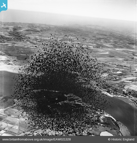
EAW021328 ENGLAND (1949). East Yelland Power Station (site of) on the River Taw, Yelland, from the south-east, 1949. This image has been produced from a damaged negative.
© Copyright OpenStreetMap contributors and licensed by the OpenStreetMap Foundation. 2026. Cartography is licensed as CC BY-SA.
Nearby Images (3)
EAW021328
 on the River Taw, Yelland, from the south-east, 1949. This image has been produced from a damaged negative.")
EAW021331
 on the River Taw, Yelland, 1949. This image has been produced from a damaged negative.")
EAW021330

Details
| Title | [EAW021328] East Yelland Power Station (site of) on the River Taw, Yelland, from the south-east, 1949. This image has been produced from a damaged negative. |
| Reference | EAW021328 |
| Date | 9-March-1949 |
| Link | |
| Place name | YELLAND |
| Parish | FREMINGTON |
| District | |
| Country | ENGLAND |
| Easting / Northing | 248316, 132766 |
| Longitude / Latitude | -4.1654204678643, 51.073614812928 |
| National Grid Reference | SS483328 |
Pins
Be the first to add a comment to this image!