
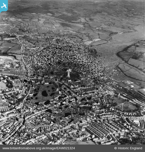
EAW021324 ENGLAND (1949). The town, Newton Abbot, 1949. This image has been produced from a damaged negative.
© Copyright OpenStreetMap contributors and licensed by the OpenStreetMap Foundation. 2026. Cartography is licensed as CC BY-SA.
Nearby Images (11)
EAW021324

EAW021317

EAW021327

EAW021325

EAW021326

EAW021323

EAW021318

EAW021320

EAW021321

EAW021322

EAW021319

Details
| Title | [EAW021324] The town, Newton Abbot, 1949. This image has been produced from a damaged negative. |
| Reference | EAW021324 |
| Date | 9-March-1949 |
| Link | |
| Place name | NEWTON ABBOT |
| Parish | NEWTON ABBOT |
| District | |
| Country | ENGLAND |
| Easting / Northing | 286708, 71686 |
| Longitude / Latitude | -3.5987574096818, 50.533370328788 |
| National Grid Reference | SX867717 |


