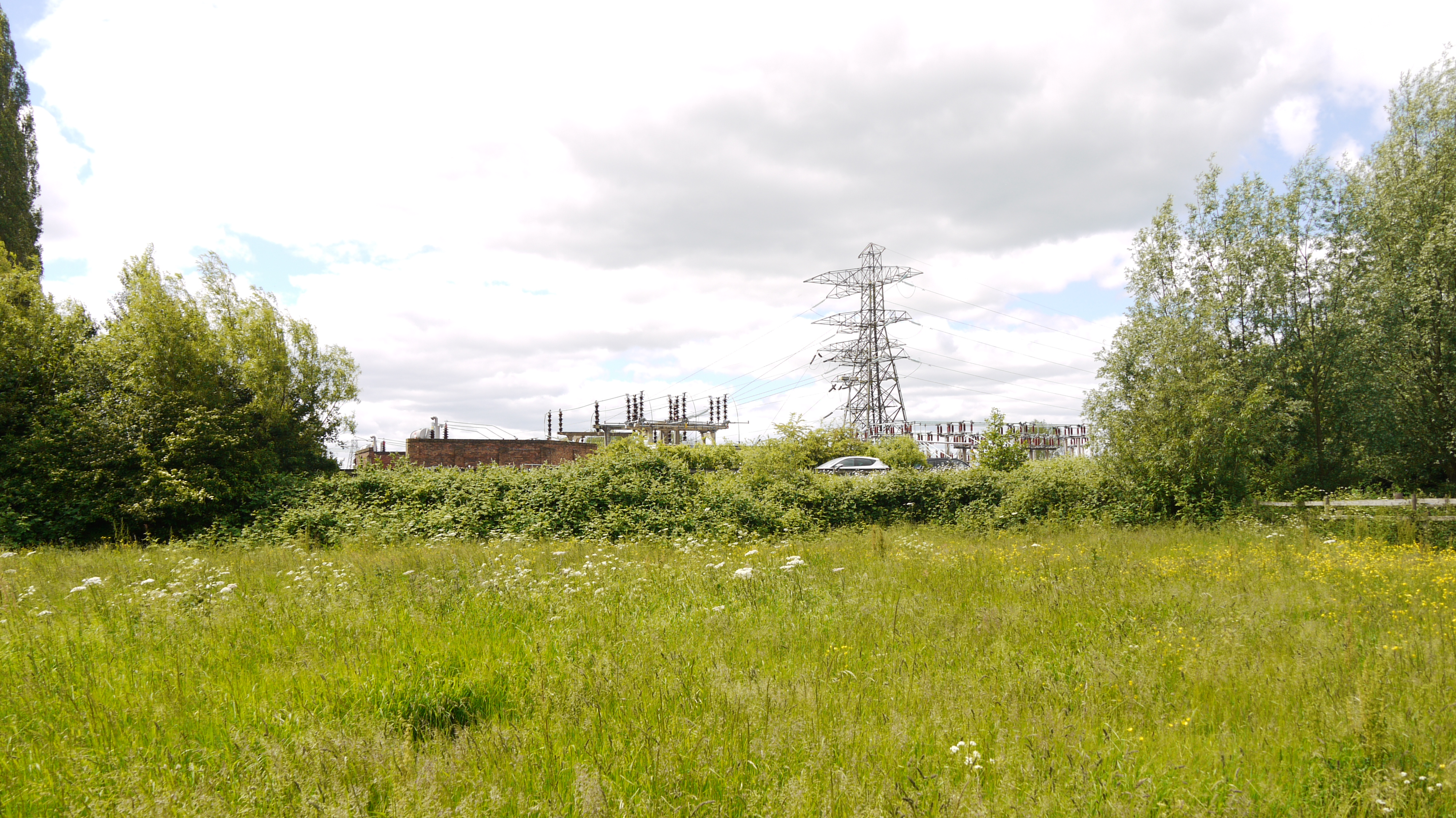
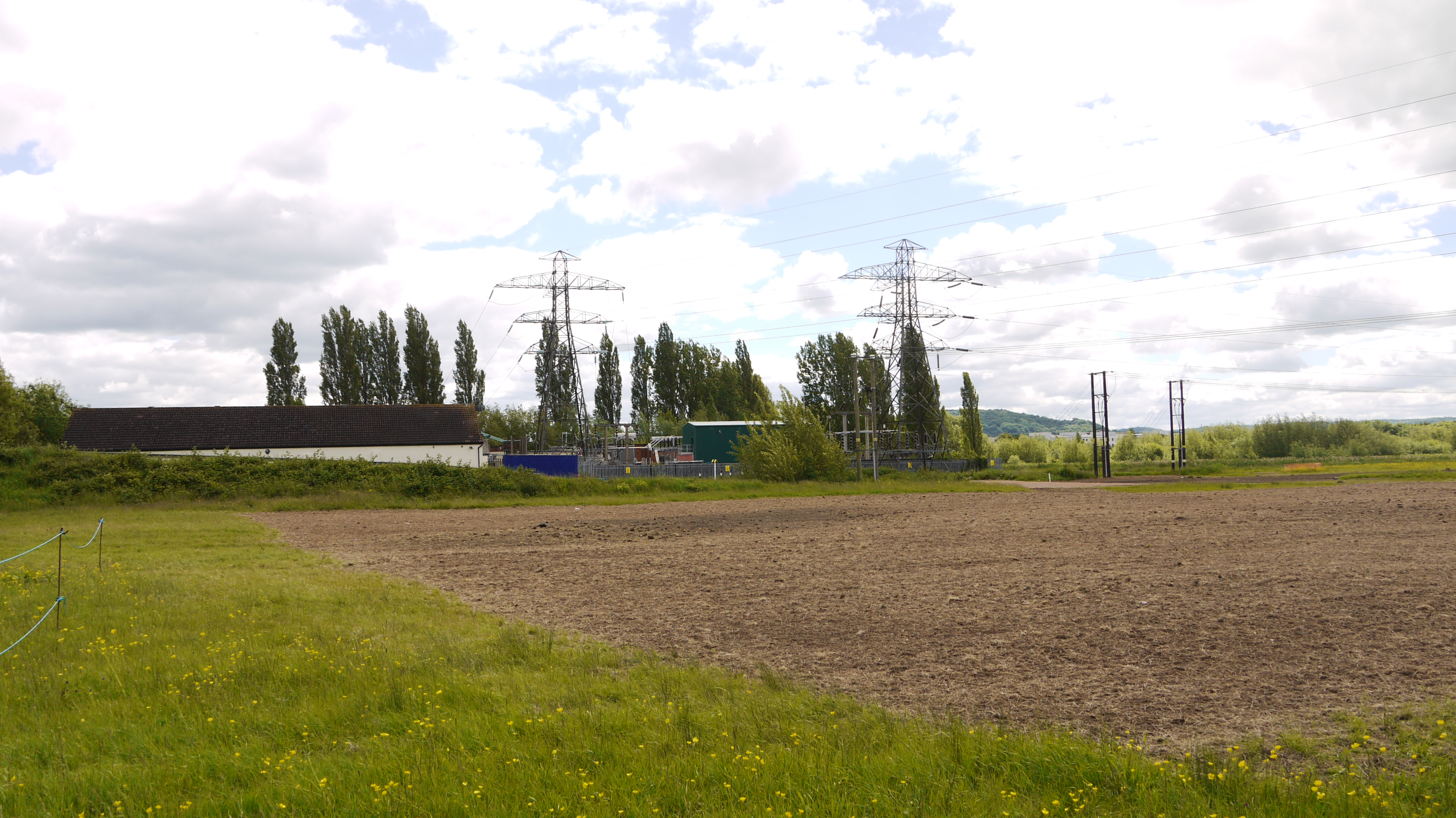
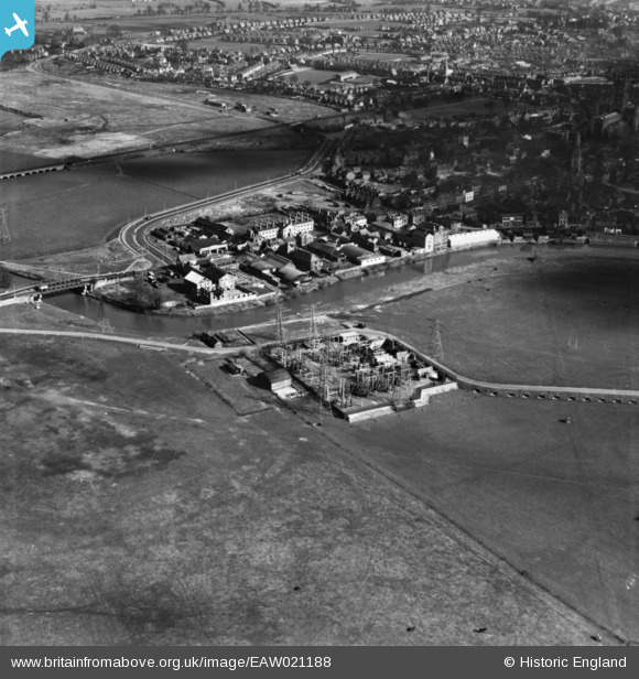
EAW021188 ENGLAND (1949). Electricity Transforming Station, St Oswald's Road and environs, Gloucester, 1949. This image has been produced from a print.
© Copyright OpenStreetMap contributors and licensed by the OpenStreetMap Foundation. 2026. Cartography is licensed as CC BY-SA.
Nearby Images (3)
EAW021188

EAW021186

EPW038349

Details
| Title | [EAW021188] Electricity Transforming Station, St Oswald's Road and environs, Gloucester, 1949. This image has been produced from a print. |
| Reference | EAW021188 |
| Date | 2-March-1949 |
| Link | |
| Place name | GLOUCESTER |
| Parish | |
| District | |
| Country | ENGLAND |
| Easting / Northing | 382442, 218855 |
| Longitude / Latitude | -2.2550318934388, 51.86755494925 |
| National Grid Reference | SO824189 |
Pins

Sparky |
Friday 25th of August 2017 09:38:18 PM | |

Class31 |
Thursday 4th of June 2015 01:57:39 PM | |
 |
Class31 |
Thursday 4th of June 2015 01:56:25 PM |
|
Class31 |
Thursday 4th of June 2015 01:54:41 PM | |
|
Class31 |
Thursday 4th of June 2015 01:53:56 PM |