
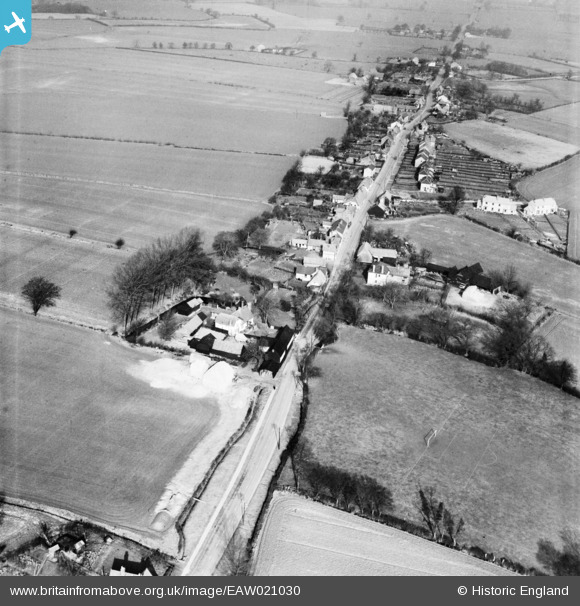
EAW021030 ENGLAND (1949). The village, High Roding, 1949
© Copyright OpenStreetMap contributors and licensed by the OpenStreetMap Foundation. 2026. Cartography is licensed as CC BY-SA.
Nearby Images (4)
EAW021030

EAW021032

EAW021031

EAW021033

Details
| Title | [EAW021030] The village, High Roding, 1949 |
| Reference | EAW021030 |
| Date | 16-February-1949 |
| Link | |
| Place name | HIGH RODING |
| Parish | HIGH ROOTHING |
| District | |
| Country | ENGLAND |
| Easting / Northing | 560179, 217027 |
| Longitude / Latitude | 0.32474895819374, 51.828416529647 |
| National Grid Reference | TL602170 |
Pins
Be the first to add a comment to this image!