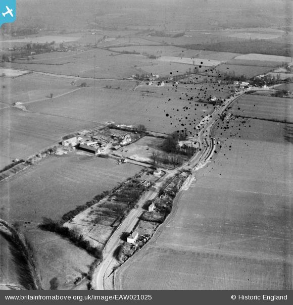
EAW021025 ENGLAND (1949). Leaden Hall and the surrounding countryside, Leaden Roding, 1949. This image has been produced from a damaged negative.
© Copyright OpenStreetMap contributors and licensed by the OpenStreetMap Foundation. 2025. Cartography is licensed as CC BY-SA.
Details
| Title | [EAW021025] Leaden Hall and the surrounding countryside, Leaden Roding, 1949. This image has been produced from a damaged negative. |
| Reference | EAW021025 |
| Date | 16-February-1949 |
| Link | |
| Place name | LEADEN RODING |
| Parish | LEADEN RODING |
| District | |
| Country | ENGLAND |
| Easting / Northing | 558982, 213292 |
| Longitude / Latitude | 0.30567762860694, 51.795200501089 |
| National Grid Reference | TL590133 |
Pins
Be the first to add a comment to this image!


![[EAW021025] Leaden Hall and the surrounding countryside, Leaden Roding, 1949. This image has been produced from a damaged negative.](http://britainfromabove.org.uk/sites/all/libraries/aerofilms-images/public/100x100/EAW/021/EAW021025.jpg)
![[EAW021027] Leaden Hall and St Michael & All Angels' Church, Leaden Roding, 1949](http://britainfromabove.org.uk/sites/all/libraries/aerofilms-images/public/100x100/EAW/021/EAW021027.jpg)
![[EAW021026] Leaden Hall and St Michael & All Angels' Church, Leaden Roding, 1949](http://britainfromabove.org.uk/sites/all/libraries/aerofilms-images/public/100x100/EAW/021/EAW021026.jpg)
![[EAW021024] Leaden Hall (site of) and the surrounding countryside, Leaden Roding, 1949. This image has been produced from a damaged negative.](http://britainfromabove.org.uk/sites/all/libraries/aerofilms-images/public/100x100/EAW/021/EAW021024.jpg)